


"Either they were not publishing their ephemeris to us, or they were not considering the ephemeris of others when they were maneuvering, and these led to conjunctions of tens of meters to hundreds of meters," Nicolls said. "Way too close to comfort."
An ephemeris is a data file containing precise coordinates and trajectory predictions detailing where a satellite is currently located and where it will be at specific times in the future. Some operators, particularly national defense entities or commercial firms guarding proprietary operational techniques, have historically been hesitant to publicly distribute precise ephemeris data. Space safety advocates argue, however, that operational transparency must take precedence over operational secrecy in heavily populated orbits.
"The minimum standard in low-Earth orbit needs to be that you know where your satellite is, and you know where it’s going. You need to be able to predict where your trajectory is, and that prediction needs to be reliable," Nicolls stated.
SpaceX has framed its operational practices as a model for responsible orbital stewardship—a necessity given the sheer size of its Starlink fleet and the company’s reliance on open space access. To reduce collision hazards and accelerate natural de-orbiting timelines, SpaceX lowered the operating altitude of its entire active Starlink fleet to below 500 kilometers (310 miles).
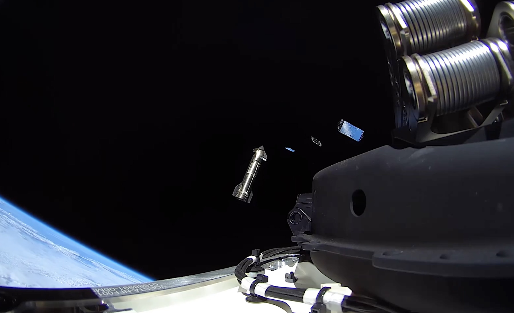
This altitude adjustment achieved three major goals: it shifted the primary Starlink constellation away from higher, more congested orbital regimes; it guaranteed that any disabled or non-responsive Starlink satellite would passively reenter the Earth’s atmosphere within a few years due to atmospheric drag; and it optimized latency and performance for end-users on the ground. Building on this approach, SpaceX’s next-generation Starlink V3 satellites—the first batch of which was deployed on September 28 utilizing the company’s Starship launch system—are designed to operate even lower, at an altitude of roughly 350 kilometers (217 miles).

To manage potential orbital conflicts, SpaceX regularly publishes detailed ephemeris data for the entire Starlink constellation and encourages all orbital operators to reciprocate. When third-party ephemeris data is unavailable, operators are forced to rely strictly on external radar networks or onboard detection hardware.
To enhance its situational awareness, SpaceX equipped its Starlink satellites with an onboard system called Stargaze, which uses star-tracker navigation cameras to visually detect and track nearby objects in space. According to Nicolls, Stargaze now successfully detects and tracks approximately 90 percent of maneuvering satellites whose paths cross Starlink operational orbits.
While onboard tracking provides an additional safety layer, automated evasive maneuvering has become a continuous operational requirement. Starlink satellites perform roughly 1,000 collision avoidance maneuvers every day to steer clear of active satellites and tracked pieces of space debris. Nicolls revealed that in recent months alone, Starlink spacecraft executed evasive maneuvers to clear approximately 650 active satellites owned by other operators. Remarkably, only half of those 650 satellites belonged to entities that actively engage in reciprocal ephemeris data-sharing with SpaceX.
When reaction times are limited or orbital geometries constrain propulsion options, Starlink satellites can execute specialized orientation adjustments known as "ducking maneuvers." These procedures involve turning the satellite’s solar arrays and chassis edge-on relative to the incoming object’s trajectory, drastically reducing the spacecraft’s cross-sectional area and minimizing the statistical probability of an impact during the point of closest approach.
What about China?
Establishing seamless data-sharing channels remains particularly complex on the international stage, where geopolitical friction and regulatory divergence frequently impede collaboration.